Here at the Alameda Native History Project, we value organizations and movements which focus on measurable, outcome-based strategies and planning. We value transparency, accountability, and regular reporting on the progress toward those goals.
And while organizations associated with Corrina Gould talk a good game: it would behoove you to take notice of the fact that none of the organizations associated with Gould have achieved any of the goals they purport to strive for.
Here’s a brief breakdown of some organizations Gould is associated with:
- Indian People Organizing for Change: Gould claims to be a co-founder of this now defunct organization; this is where she began the Shellmound Walk. Though it’s important to note that we haven’t been able to find any newspaper articles where Corrina Gould is mentioned, or pictured, with any other founders of IPOC. In fact, it looks like Gould’s involvement has been using IPOC as a front for her own fundraising efforts. For what, though?
- American Indian Child Resource Center: Corrina Gould was an employee of this organization as a Title 7 Resource Coordinator during the time she herself was convicted of defrauding Alameda County (which she confessed to); was sentenced to 2 years in jail; and ordered to pay restitution in the amount of $5,275. While the AIRCRC is a legitimate organization, one can’t help but ask why the Center continues to associate itself with Gould. [Or why any of these organizations think it’s appropriate to put a fraud in charge of fundraising, or even run for “tribal office”.]
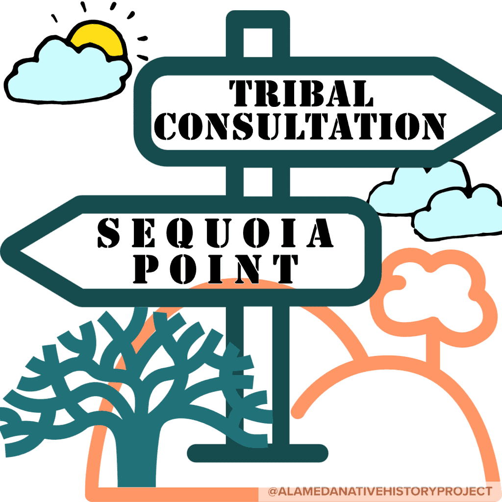
- Sogorea Te Land Trust: Unaccredited land trust. Named after Glen Cove, in Vallejo, which is actually Wintu and Patwin land; the place where Corrina Gould hijacked efforts to preserve and protect sacred sites. Gould claimed that tribes were not consulted regarding the planning and development of Glen Cove Park, but she was wrong. Tribal Consultation was occurring behind the scenes the whole time Corrina Gould was publicly occupying another tribe’s land.
Gould’s actions resulted in costing the tribes tens of thousands of dollars in legal fees, and forced the tribe to pay for a cultural easement–which would have been free, if Gould hadn’t interfered. The original goal of the Land Trust was to purchase/receive native land to put back into native hands. However, their entire body of work has only focused on re-appropriating urban gardens, and landscaping, thus far. And also to serve as Corrina Gould’s personal piggy bank. - Confederated Villages of the Lisjan, INC.: Formerly created by Corrina Gould to give the appearance of the legitimacy needed for Cities and Developers to treat her as a Tribal Consultant; and to file as an intervenor in court cases to “stop desecration” in places like West Berkeley and Glen Cove. This corporation was subsequently suspended by the Franchise Tax Board; and then taken over by Gabriel Duncan, to prove a point that corporations are not tribal governments. (The exercise of sovereign powers is not a charitable purpose, how can a non-Ohlone person be a tribal chair of an Ohlone government? They can’t; the idea that a corporation can be a tribal government is ridiculous.)
- Confederated Villages of the Lisjan “Nation“, INC.: Corrina Gould registered another corporation with a similar name to continue her charade as an elected tribal chairwoman. It’s not hard to say that when your board of directors are your immediate family. But Gould isn’t a Tribal Chairwoman, she’s the Chair of the Board of a corporation masquerading as a tribal government.
The real unfortunate part of this is that Gould continues to present herself as speaking for a larger population of Ohlone People than she has the right to, in the same way King Henry spoke for his subjects in countries across the world. (Except King Henry actually had “subjects”. And, even if you count Gould’s supporters, they’re not Ohlone People.) In fact, it looks like Corrina Gould wants to be the only person consulted, to the point of excluding bona fide tribes, as was the case in both Glen Cove, and Sequoia Point.
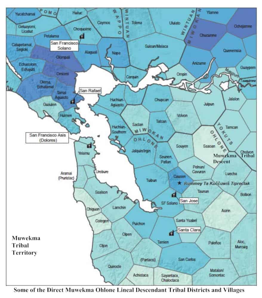
Furthermore, Lisjan is the place name for Pleasanton–not East Oakland. And the real “confederation” of villages is the Muwekma Ohlone Tribe of the San Francisco Bay Area.
[The present-day Muwekma Ohlone Tribe is comprised of all of the known surviving American Indian lineages aboriginal to the San Francisco Bay region who trace their ancestry through the Missions Dolores, Santa Clara, and San Jose…]
Lost in the fray is the simple fact that Corrina Gould’s corporation has only been around for about 5 years; whereas the Muwekma Ohlone Tribe of the San Francisco Bay Area has been around since time immemorial. Muwekma has over 600 enrolled tribal members. Muwekma’s lineage is extremely well-documented; and their occupation of the San Francisco Bay Area can be traced back to archeological sites representing at least 7,000 years of ancestral tribal history.
[Yes, I’m also tired of repeating myself.]
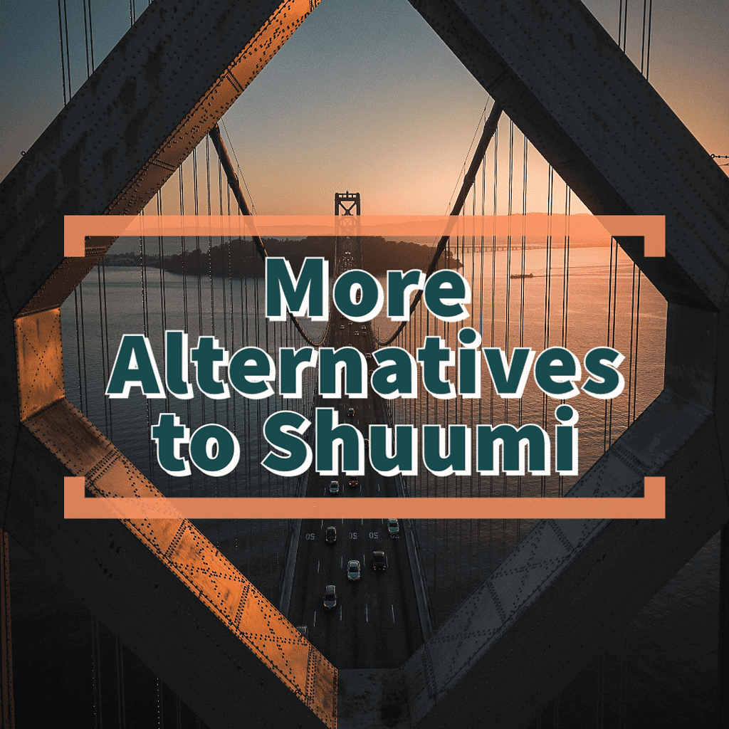
So let’s say you don’t want to give money to an organization fronted by a convicted fraud, which isn’t doing the work it claims to be dedicated to. What are some organizations where your investment in indigenous people, their rights, and their lives, would make the most difference?
- Muwekma Ohlone Preservation Foundation [link]
The actual Ohlone Land Trust and Preservation Foundation working to preserve the homelands of a tribe which was formerly known and recognized as the Verona Band of Indians, and is known today as the Muwekma Ohlone Tribe of the San Francisco Bay Area. By supporting this foundation, you are supporting the rematriation of the land, re-awakening of indigenous language, culture, and helping to foster the honor and respect required to make space for healing, and rejuvenation of the people who survived the Missionization of the San Francisco Bay Area, and the American policies of genocide and erasure in California.
The Muwekma Ohlone Preservation Foundation‘s Mission is to:- Heal mak Muwékma (“our People”) by connecting with and caring for our ancestral lands,
- Protect and hinnimpisin ’oyyo ’innu heeme (“restore culture, and natural resources”),
- Gain and ’utas warep — steward the land-base where we have always been,
- Awaken cultural practices on the land through tribal gatherings and creating ceremonial spaces,
- Ensure the continued ’iškaanesin mak Muwékma (“resilience of our People”)
- Friendship House of San Francisco [link]
This organization provides the bulk of services to Native People who are either living off the reservation in urban areas, or have been sent to the friendship house to receive treatment and healing services by tribes far and wide. The Friendship House of San Francisco holds a special place in my heart, because I have seen the people who have benefited from their programs, and ongoing mercy and care for all Native People in the Urban Reservation. Investing in the Friendship House of San Francisco is probably one of the best ways to support indigenous people, not only in the Bay Area, but all over this continent. - Intertribal Friendship House of Oakland [link]
From the Intertribal Friendship Oakland website:
“Intertribal Friendship House (IFH), located in Oakland, CA was established in 1955 as one of the first urban American Indian community centers in the nation. It was founded by the American Friends Service Committee to serve the needs of American Indian people relocated from reservations to the San Francisco Bay Area. The Bay Area American Indian community is multi-tribal, made of Native people and their descendants—those who originate here and those who have come to the Bay region from all over the United States and from other parts of this hemisphere.
“For urban Native people IFH has served as the Urban Reservation and Homeland. In many cases it is one of the few places that keeps them connected to their culture and traditions through pow wow dance, drumming, beading classes, and the many social gatherings, cultural events, and ceremonies that are held there. Intertribal Friendship House is more than an organization. It is the heart of a vibrant tribal community.”
As a youth, I visited the Intertribal Friendship House of Oakland for a lot of events, powwows and fellowship. IFH Oakland holds a special place in my heart as being my local urban Native cultural center for so long.