This was created as a direct response to our community’s need for restorative justice–making things right.
You likely feel a personal connection to Indigenous People. You want to contribute to the well-being and sustainability of First Peoples locally, and around the world. (Especially Ohlone people who are the first inhabitants of the San Francisco Bay Area.)
We wanted to help guide you towards contributing to reputable, accountable, and transparent organizations making measurable positive impacts in the local Indigenous and Native American communities.
This list exists because “Shuumi” doesn’t actually benefit Ohlone people, even though Ohlone language and identity are a thoroughly appropriated facet of a local land trust’s fundraising.
We wanted to re-frame “decolonization,” “landback,” and “rematriation” (all centered around returning ancestral lands to their original Indigenous caretakers) into locally actionable concepts that celebrate the plurality and diversity of our local community organizations, and the work they do to:
- Uplift our voices. Empower and Advocate.
- Cultivate wellness, vitality and expression.
- Preserve and celebrate our Heritage and Traditions.
Benefitting the local Native American and Indigenous Communities of the San Francisco Bay Area means looking at the big picture.
Our diversity is our strength. Understanding the inter-tribal nature of the Bay Area, as well as being able to recognize true Tribal Governments, and Indigenous Organizations is essential for your role in supporting Indigenous Liberation.
By presenting you with local Indigenous organizations making a positive, measurable impact in the community, we are re-focusing attention on community driven initiatives with a proven track-record of success and accountability.
We acknowledge that the Bay Area is an Inter-tribal Urban Reservation. That the continued un-recognition of the Muwekma Ohlone Tribe of the San Francisco Bay Area has resulted in political erasure and loss of Muwekma’s hereditary homelands in Alameda, Contra Costa, San Francisco, San Mateo, San Jose, and parts of Napa, Santa Cruz, Solano, and San Joaquin counties.
We occupy Muwekma Ohlone Land. And we should do what we can to honor the first people of the Bay Area.
You deserve to know that your contributions are being used to benefit Ohlone People and the greater Native American Community. This is why it’s essential to contribute only to organizations which are transparent, accountable, and provide a measurable positive impact to Ohlone People and local Indigenous Communities.
Organizations can sign up to be on this list here.
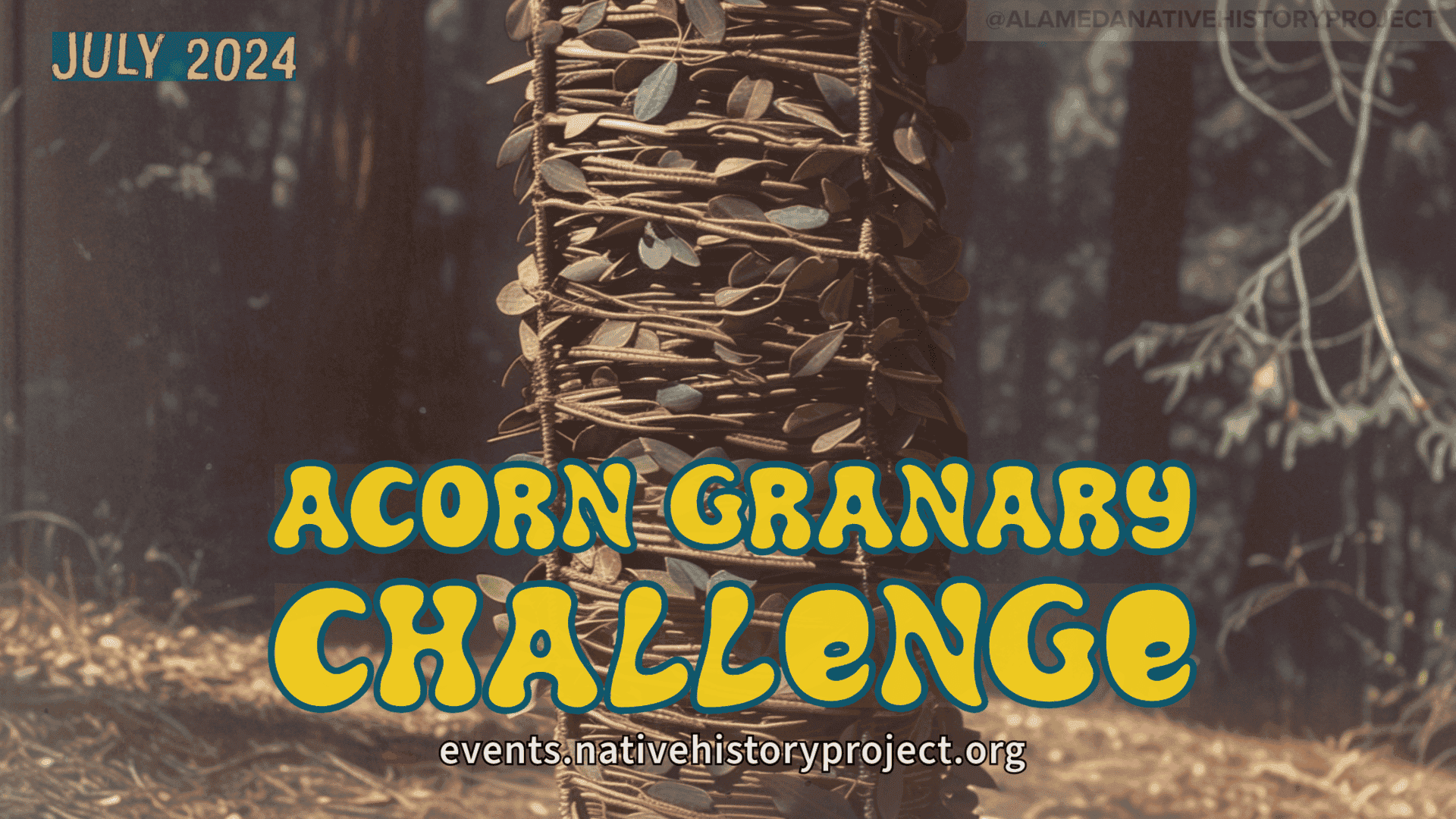
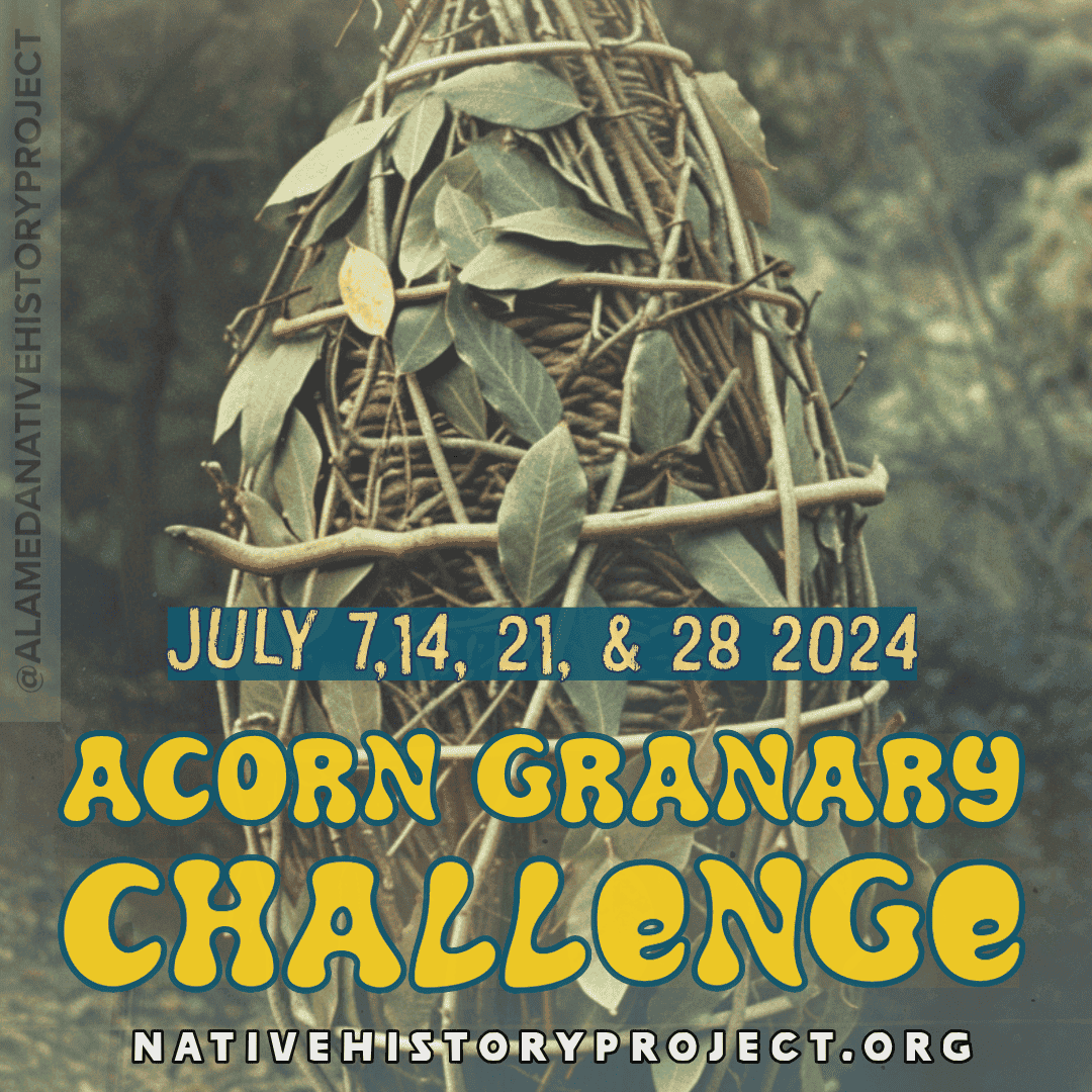
Alternatives to Shuumi 2025 List
Our short list of Indigenous Organizations making a positive, local, impact.
Dedicated to preserving Ohlone culture, language, and traditional practices, this foundation supports the direct needs of Ohlone people in the Bay Area. Contributions fund cultural revitalization, education, and ancestral territory preservation efforts, promoting Ohlone self-determination and community well-being.
(Pronounced “courage”) seeks to unlock the leadership of young people to “dream beyond bars.” From their website: “We look to young people to lead the way in transforming our communities by investing in their healing, aspirations, and activism.”
Promotes Community Wellness, Provides direct Medical Care, Celebrates the rich Culture and Heritage of All Nations through diverse programming and events, including the Indigenous Red Market, and Annual NAHC Powwow.

Provides wellness and rehabilitative services to Native American People from all over the Nation. Many tribes send their members to the SF Friendship house for care. [As of writing, the website is down. Best way to reach them is to call. (415) 865-0964 Ask for Finance, or: Lena Ma ext. 4021, or Pinky Huree ext. 4012]

Intertribal Friendship House
Legit Native American community center in Oakland. A small place with a big impact. From their website: “Intertribal Friendship House (IFH), located in Oakland, CA, was founded in 1955 and is one of the first urban American Indian community centers in the nation… For urban Native people, IFH serves as a vital “Urban Reservation” and cultural homeland, providing a crucial space to stay connected to their heritage and traditions.”
Our community deserves better than empty promises and appropriation.
By supporting transparent, accountable organizations that truly benefit Ohlone people and local Indigenous communities, we can create meaningful change.
Let’s reclaim our responsibility to honor the first people of this land and work towards a future where Indigenous voices are amplified, not erased.
Together, we can make a difference – let this be a starting point for positive action.
Would you like to join this list?
Apply to be an Alternative Organization